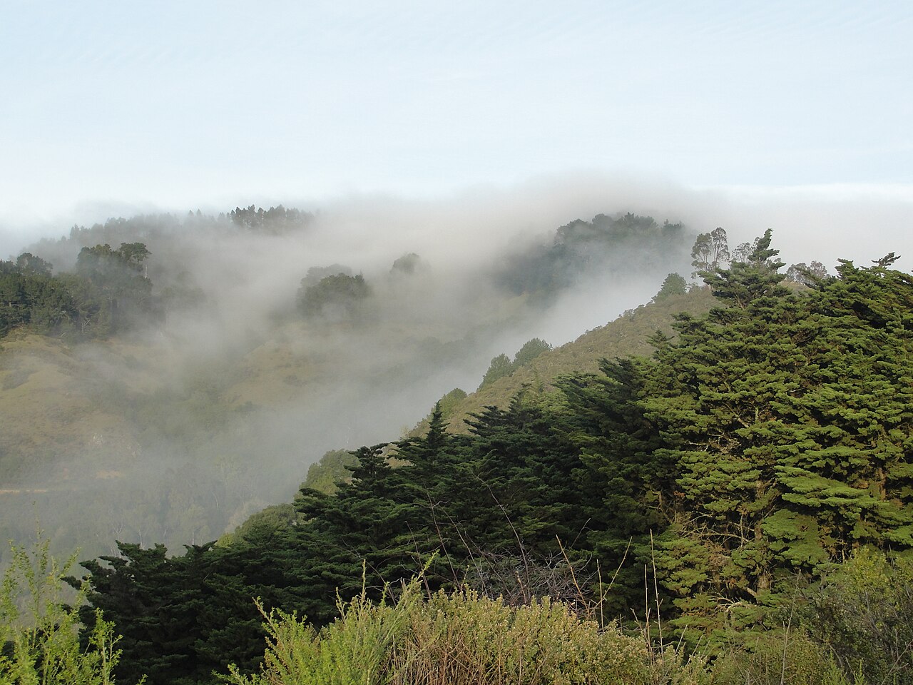
Claremont Canyon Regional Preserve
Oakland, Alameda County, CA
- Size
- 215 acres Source
- Managed by
- East Bay Regional Park District
About Claremont Canyon Regional Preserve
A steep canyon preserve in the Berkeley and Oakland hills with panoramic ridge trails. Source
Claremont Canyon Regional Preserve is nestled in the Berkeley and Oakland hills behind the historic Claremont Hotel. This scenic, 208-acre preserve protects two parcels of land located on both sides of upper Claremont Avenue. Panoramic Ridge rises steeply to the north, and Gwin Canyon extends south.
Know before you go
Claremont Canyon Regional Preserve covers 215 acres in Oakland, Alameda County. 4 named trails add up to about 2 miles inside the park; the longest is Gwin Canyon Trail at 0.9 miles, and Stonewall-Panoramic Trail has the most up and down (about 638 feet). Mapped trails range from 469 to 1,263 feet in elevation. The closest mapped bus stop is Derby Street & Claremont Boulevard (routes 36), about 700 feet from the park.
Facilities
- Volleyball
Facility details: OpenStreetMap
Trails
| Trail | Mapped length | Elevation | Surface & uses |
|---|---|---|---|
| Gwin Canyon Trail | 0.9 mi | ||
| Stonewall-Panoramic Trail | 0.7 mi | 638 ft up & down469–1,155 ft | UnpavedNo bikesHorsesPaved |
| Clark Kerr Trail | 0.2 mi | 37 ft up & down704–818 ft | UnpavedNo bikes |
| East West Trail | 0.2 mi | 39 ft up & down1,212–1,263 ft | UnpavedNo bikes |
Getting to Claremont Canyon Regional Preserve by bus
- Derby Street & Claremont Boulevard · Routes 36 · 700 ft from the park
- Belrose Avenue & Garber Street · Routes 36 · 700 ft from the park
- Claremont Boulevard & Garber Street · Routes 36 · 810 ft from the park
- Russell Street & Claremont Boulevard · Routes 80 · 1210 ft from the park
Stops within a quarter mile of Claremont Canyon Regional Preserve; confirm times with the transit agency.
Compared with nearby parks
Among the 19 other parks in this guide within 10 miles, Claremont Canyon Regional Preserve is number 15 of 20 by size at 215 acres. 14 nearby parks have more mapped trail mileage than its 2 miles.
Closest places for what Claremont Canyon Regional Preserve doesn't list:
- Off-Leash Area: McLaughlin Eastshore State Park (4.6 mi)
- Playground: Temescal Regional Recreation Area (1.5 mi)
- Swimming: Temescal Regional Recreation Area (1.5 mi)
Rules & reservations
Official park page- Dogs
At Claremont Canyon Regional Preserve: leash in developed areas, under the East Bay Regional Park District dog rules. Source
Map & directions
Stonewall Road off Claremont Ave., Oakland, CA
Nearby parks
Straight-line distanceContinue exploring
Alameda County parks Parks in OaklandSources & verification
Last verified: Oct 15, 2026- California Protected Areas Database (CPAD) 2026aname, county, agency, access, acres
- East Bay Regional Park District dog rulesdogs
- East Bay Regional Park District park pageofficial_url, hours, address, description, fees
- OpenStreetMap facilities and trailsfacilities.volleyball, trails
- U.S. Census Bureau place boundariescity
- OpenStreetMap: parking, restrooms, water, trailheads, trail lines, and bus stopsvisit
- Terrain Tiles elevation (USGS 3DEP), sampled every 20 m along OpenStreetMap trail linestrails.elevation
- Official park page (introduction excerpt)intro