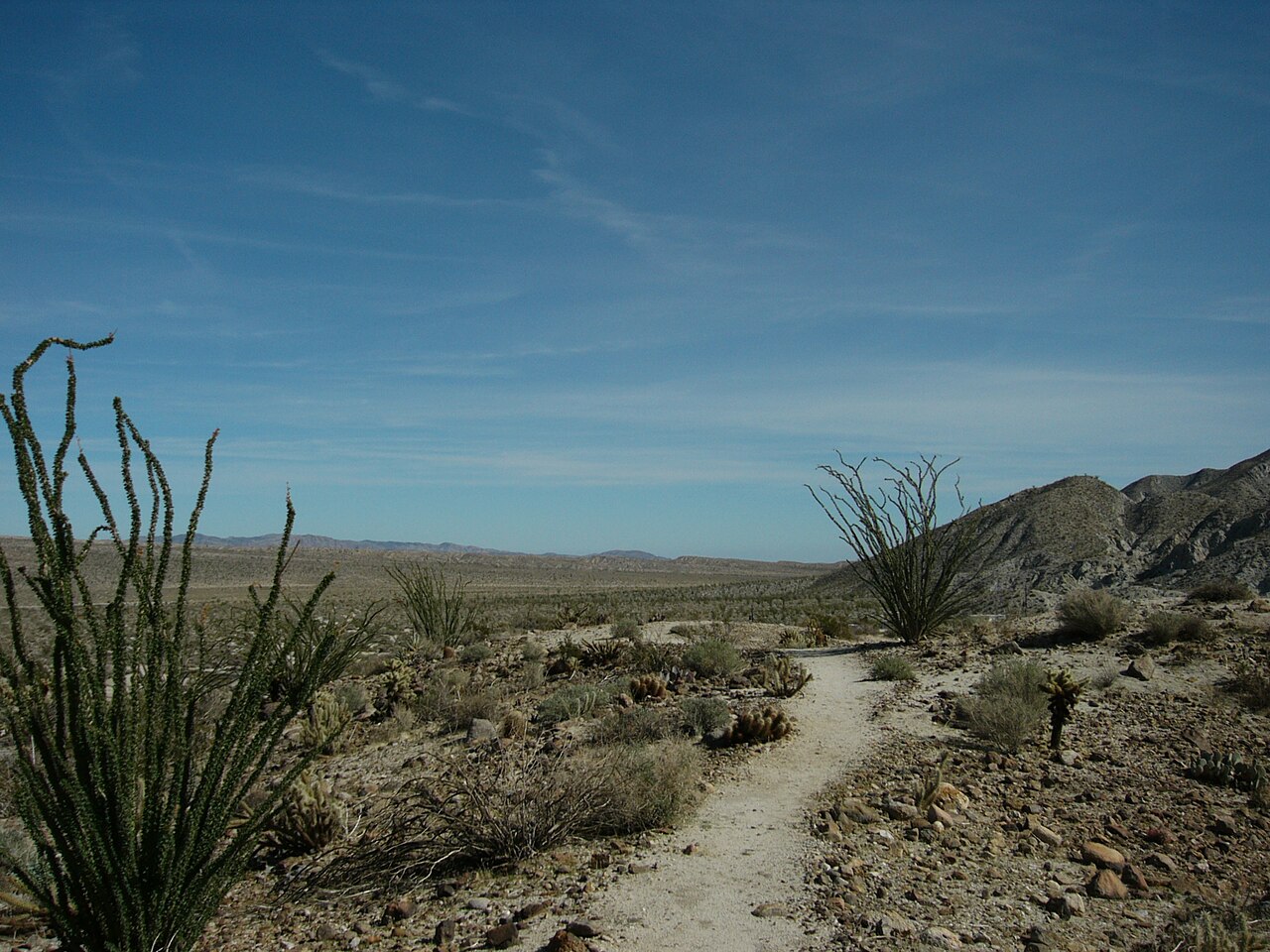
Agua Caliente County Park
Julian, San Diego County, CA
- Size
- 796 acres Source
- Managed by
- San Diego County Parks and Recreation
About Agua Caliente County Park
A desert camping park at the base of the mountain west of Anza-Borrego, with indoor, outdoor, and children's pools. Source
Know before you go
Agua Caliente County Park covers 796 acres in Julian, San Diego County. Closing follows the sun here: sunset at Agua Caliente County Park is around 4:40 p.m. in mid-December, 6:52 p.m. in mid-March, 7:54 p.m. in mid-June, and 6:53 p.m. in mid-September. 8 named trails add up to about 2.6 miles inside the park; the longest is Marsh Trail at 0.5 miles, and ridge to peak - unmarked trail has the most up and down (about 718 feet). Mapped trails range from 1,232 to 2,332 feet in elevation. OpenStreetMap shows 3 parking areas, plus 3 restrooms and 8 drinking fountains.
Facilities
- BBQ Grills
- Camping
- Drinking Water
- Horseshoes
- Picnic Area
- Restrooms
Facility details: OpenStreetMap
Agua Caliente County Park at a glance
- PParking · 3
- WCRestrooms · 3
- WDrinking water · 8
- TTrailheads · 3: Moonlight Canyon, Storybook, Storybook
- Named trails · 8
© OpenStreetMap · CPAD · About this map
Trails
| Trail | Mapped length | Elevation | Surface & uses |
|---|---|---|---|
| Marsh Trail | 0.5 mi | 77 ft up & down1,317–1,400 ft | UnpavedNo bikesNo dogs |
| Moonlight Canyon Trail | 0.4 mi | 74 ft up & down1,295–1,402 ft | Unpaved |
| Store Trail | 0.4 mi | 49 ft up & down1,272–1,329 ft | UnpavedNo bikesNo dogs |
| Airport Trail | 0.4 mi | 61 ft up & down1,232–1,298 ft | Unpaved |
| Octillo Ridge Trail | 0.3 mi | 85 ft up & down1,319–1,402 ft | UnpavedNo bikesNo dogs |
| ridge to peak - unmarked trail | 0.3 mi | 718 ft up & down1,563–2,332 ft | Unpaved |
| Desert Overlook Trail | 0.2 mi | 124 ft up & down1,399–1,543 ft | Unpaved |
| Storybook Trail | 0.1 mi | 16 ft up & down1,303–1,321 ft | Unpaved |
Rules & reservations
Official park page- Dogs
The park page says no dogs on the trail or on pool decks. Source
Open Labor Day weekend to Memorial Day; camping 24 hours.
Map & directions
39555 Great Southern Overland Stage Route of 1849, Julian, CA 92036
Nearby parks
Straight-line distanceContinue exploring
San Diego County parks Parks in JulianSources & verification
Last verified: Oct 15, 2026- California Protected Areas Database (CPAD) 2026aname, county, agency, access, acres
- San Diego County Parks park page (read in a browser)official_url, hours, hours_note, fees, dogs, address, description
- OpenStreetMap facilities and trailsfacilities.bbq-grills, facilities.camping, facilities.drinking-water, facilities.horseshoes, facilities.picnic-area, facilities.restrooms, trails
- Official park page (city in the park's mailing address; the park lies outside Census place boundaries)city
- OpenStreetMap: parking, restrooms, water, trailheads, trail lines, and bus stopsvisit
- Terrain Tiles elevation (USGS 3DEP), sampled every 20 m along OpenStreetMap trail linestrails.elevation