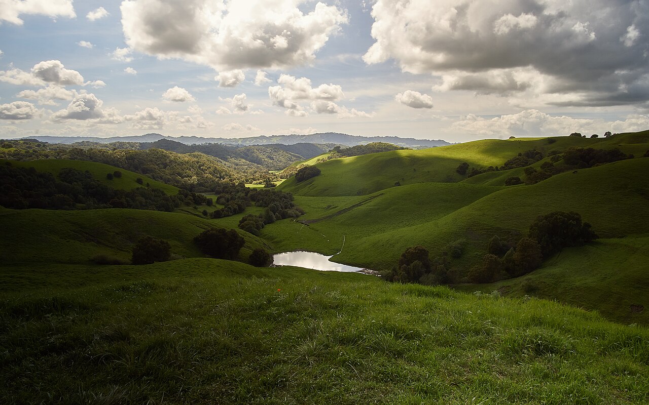
Briones Regional Park
Martinez, Contra Costa County, CA
- Size
- 5,965 acres Source
- Managed by
- East Bay Regional Park District
About Briones Regional Park
Rolling hills and shady canyons in central Contra Costa County with archery, camping, and long trails. Source
The Briones Special Management Area is a 1,600 acre zone in the northeast part of Briones Regional Park that employs a variety of trail management strategies to protect habitat, wildlife, and watersheds. The Special Management Area establishes specific rules limiting trail use, such as hiking only, biking only, or hiking/biking only and direction of travel.
Know before you go
Briones Regional Park covers 5,965 acres in Martinez, Contra Costa County. Closing follows the sun here: sunset at Briones Regional Park is around 4:50 p.m. in mid-December, 7:14 p.m. in mid-March, 8:31 p.m. in mid-June, and 7:18 p.m. in mid-September. 12 named trails add up to about 32.4 miles inside the park; the longest is Briones Crest Trail at 6.2 miles, and Service Road has the most up and down (about 2,668 feet). Mapped trails range from 306 to 1,456 feet in elevation. OpenStreetMap shows 6 parking areas, plus 7 restrooms and 7 drinking fountains.
Facilities
- Camping
- Drinking Water
- Picnic Area
- Restrooms
Facility details: OpenStreetMap
Briones Regional Park at a glance
- PParking · 6
- WCRestrooms · 7
- WDrinking water · 7
- Named trails · 12
© OpenStreetMap · CPAD · About this map
Trails
| Trail | Mapped length | Elevation | Surface & uses |
|---|---|---|---|
| Briones Crest Trail | 6.2 mi | 2,623 ft up & down654–1,456 ft | UnpavedBikesHorses |
| Service Road | 5.6 mi | 2,668 ft up & down407–1,232 ft | UnpavedBikesNo horsesNo bikesHorses |
| Spengler Trail | 4 mi | 2,301 ft up & down603–1,336 ft | UnpavedBikesHorses |
| Lafayette Ridge Trail | 3.3 mi | 937 ft up & down951–1,270 ft | UnpavedBikesHorses |
| Old Briones Road Trail | 2.4 mi | 776 ft up & down764–1,231 ft | UnpavedBikesHorses |
| Abrigo Valley Trail | 2 mi | 624 ft up & down693–1,238 ft | UnpavedBikesHorses |
| Lagoon Trail | 1.8 mi | 1,020 ft up & down791–1,358 ft | UnpavedBikesHorses |
| Seaborg Trail | 1.5 mi | 603 ft up & down672–1,194 ft | UnpavedBikesHorses |
| Mariposa Trail | 1.4 mi | 600 ft up & down834–1,262 ft | BikesHorses |
| Crescent Ridge Trail | 1.4 mi | 685 ft up & down809–1,386 ft | UnpavedBikesHorses |
| Blue Oak Trail | 1.4 mi | 758 ft up & down306–747 ft | UnpavedBikesHorses |
| Deer Creek Trail | 1.4 mi | 471 ft up & down686–1,152 ft | UnpavedBikesHorsesNo bikesNo horses |
Compared with nearby parks
Among the 18 other parks in this guide within 10 miles, Briones Regional Park is the largest at 5,965 acres. It has the most mapped trail mileage of the group (about 32.4 miles).
Closest places for what Briones Regional Park doesn't list:
- Off-Leash Area: Point Isabel Regional Shoreline (9.8 mi)
- Playground: Carquinez Strait Regional Shoreline (5.1 mi)
- Swimming: Charles Lee Tilden Regional Park (6.3 mi)
Rules & reservations
Official park page- Dogs
At Briones Regional Park: leash in developed areas, under the East Bay Regional Park District dog rules. Source
Alhambra and Bear Creek entrances. Gate hours change through the year; check the posted schedule. Parking lots: 8 a.m. to sunset.
Map & directions
Alhambra Staging Area, Brookwood Dr, Martinez, CA
Nearby parks
Straight-line distanceContinue exploring
Contra Costa County parks Parks in MartinezSources & verification
Last verified: Oct 15, 2026- California Protected Areas Database (CPAD) 2026aname, county, agency, access, acres
- East Bay Regional Park District dog rulesdogs
- East Bay Regional Park District park pageofficial_url, hours, address, description, fees
- OpenStreetMap facilities and trailsfacilities.camping, facilities.drinking-water, facilities.picnic-area, facilities.restrooms, trails
- Official park page (city in the park's mailing address; the park lies outside Census place boundaries)city
- OpenStreetMap: parking, restrooms, water, trailheads, trail lines, and bus stopsvisit
- Terrain Tiles elevation (USGS 3DEP), sampled every 20 m along OpenStreetMap trail linestrails.elevation
- Official park page (introduction excerpt)intro