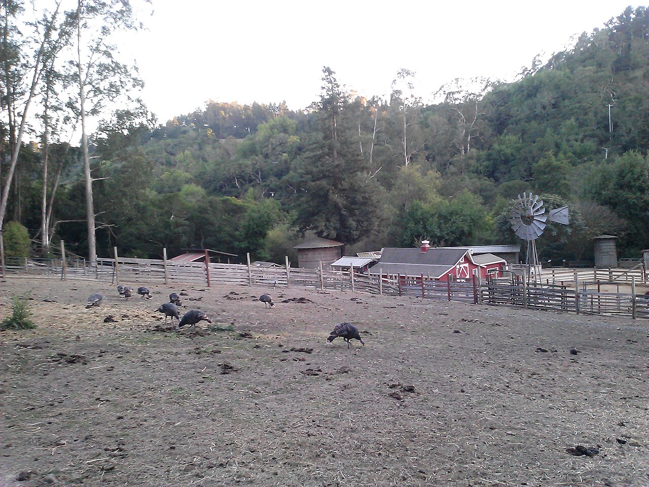
Tilden Nature Area
Near Richmond, Contra Costa County, CA
- Size
- 710 acres Source
- Managed by
- East Bay Regional Park District
About Tilden Nature Area
The nature study area of Tilden Regional Park, with an environmental education center. Source
Tilden Nature Area is a 740-acre preserve located just North of Charles Lee Tilden Regional Park . With over 10 miles of hiking trails, the preserve contains a blend of native and introduced plant communities, including oak/bay woodlands, grasslands, eucalyptus forests, and streams. Hikes range from the leisurely, self-guided Jewel Lake Nature Trail to a vigorous climb up Wildcat Peak (elevation 1,211 ft.) for panoramic, San Francisco Bay views.
Know before you go
Tilden Nature Area covers 710 acres near Richmond in Contra Costa County. 12 named trails add up to about 9 miles inside the park; the longest is Wildcat Peak Trail at 1.5 miles, and Wildcat Peak Trail has the most up and down (about 733 feet). Mapped trails range from 461 to 1,209 feet in elevation. OpenStreetMap shows 3 parking areas, plus 4 restrooms and 6 drinking fountains. The closest mapped bus stop is Tilden Park Environmental Center (routes 67), at the park edge.
Facilities
- Camping
- Drinking Water
- Picnic Area
- Playground
- Restrooms
Facility details: OpenStreetMap
Tilden Nature Area at a glance
- PParking · 3
- WCRestrooms · 4
- WDrinking water · 6
- Named trails · 12
© OpenStreetMap · CPAD · About this map
Trails
| Trail | Mapped length | Elevation | Surface & uses |
|---|---|---|---|
| Wildcat Peak Trail | 1.5 mi | 733 ft up & down692–1,209 ft | No bikesNo horsesUnpaved |
| Laurel Canyon Trail | 1.1 mi | 377 ft up & down549–933 ft | UnpavedNo bikesNo horses |
| Wildcat Creek Trail | 1 mi | 83 ft up & down461–539 ft | No bikesUnpavedBikes |
| Loop Road | 0.9 mi | 187 ft up & down520–644 ft | UnpavedBikesHorses |
| Jewel Lake Trail | 0.9 mi | 131 ft up & down513–582 ft | UnpavedNo bikesNo horses |
| Laurel Canyon Road | 0.7 mi | 373 ft up & down609–995 ft | No bikesHorses |
| Sylvan Trail | 0.6 mi | 219 ft up & down548–692 ft | No bikesNo horses |
| Pine Tree Trail | 0.6 mi | 295 ft up & down633–840 ft | UnpavedNo bikesNo horses |
| Ye Olde School Trail | 0.5 mi | 102 ft up & down759–842 ft | UnpavedBikes |
| Upper Packrat Trail | 0.4 mi | 97 ft up & down520–627 ft | UnpavedNo bikesNo horses |
| Lower Packrat Trail | 0.4 mi | 82 ft up & down510–558 ft | UnpavedNo bikesNo horses |
| Memory Trail | 0.4 mi | 164 ft up & down533–697 ft | UnpavedNo bikesNo horses |
Getting to Tilden Nature Area by bus
- Tilden Park Environmental Center · Routes 67 · at the park edge
- Tilden Park Pony Rides · Routes 67 · 220 ft from the park
- Purdue Avenue & Kenyon Avenue · Routes 67 · 470 ft from the park
- Beloit Avenue & Grizzly Peak Boulevard · Routes 67 · 490 ft from the park
Stops within a quarter mile of Tilden Nature Area; confirm times with the transit agency.
Compared with nearby parks
Among the 19 other parks in this guide within 10 miles, Tilden Nature Area is number 10 of 20 by size at 710 acres. 6 nearby parks have more mapped trail mileage than its 9 miles.
Closest places for what Tilden Nature Area doesn't list:
- Off-Leash Area: Point Isabel Regional Shoreline (3.1 mi)
- Swimming: Charles Lee Tilden Regional Park (1.2 mi)
- Fishing: Temescal Regional Recreation Area (5.1 mi)
Rules & reservations
Official park pageMap & directions
Nearby parks
Straight-line distanceContinue exploring
Contra Costa County parks Parks in Richmond PlaygroundsSources & verification
Last verified: Oct 15, 2026- California Protected Areas Database (CPAD) 2026aname, county, agency, access, acres
- East Bay Regional Park District park pageofficial_url, hours, description, fees, dogs
- OpenStreetMap facilities and trailsfacilities.camping, facilities.drinking-water, facilities.picnic-area, facilities.playground, facilities.restrooms, trails
- U.S. Census Bureau place boundaries (nearest place)city
- OpenStreetMap: parking, restrooms, water, trailheads, trail lines, and bus stopsvisit
- Terrain Tiles elevation (USGS 3DEP), sampled every 20 m along OpenStreetMap trail linestrails.elevation
- Official park page (introduction excerpt)intro