Los Trancos Open Space Preserve
Palo Alto, Santa Clara County, CA
- Size
- 277 acres Source
About Los Trancos Open Space Preserve
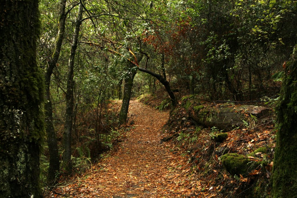
Los Trancos Open Space Preserve covers about 274 acres at roughly 2,000 feet in the Santa Cruz Mountains above Palo Alto, and the San Andreas Fault runs right through it. That makes it one of the best places in the Bay Area to see earthquake geology up close: the easy 1.5-mile San Andreas Fault Trail, set up in 1977 with help from Foothill College geology professor Tim Hall and his students, is a self-guided interpretive walk that shows how the fault has shaped the landscape. A longer 2.5-mile trail passes seven points of interest through grassland, chaparral, and mixed evergreen forest, climbing about 500 feet and taking one to three hours.
The air here smells of bay leaves, grass, and damp woods, and the preserve alternates between grassy knolls, oak woodland, and cool shaded forest. On clear days you can pick out San Francisco's skyline and Mount Diablo across the bay. The land was once part of a 13,300-acre ranch and later belonged to Louis Oneal, a San Jose attorney and state senator who raised horses; a planned subdivision was stopped after a study showed how costly city services in the foothills would be, and Midpen bought most of the property in 1976.
Dogs and bikes are not allowed; horses are allowed on designated trails. The entrance is on Page Mill Road, 7 miles west of I-280 and 1.5 miles east of Skyline Boulevard, with 23 spaces plus one accessible space; restrooms and more parking are across the road at Monte Bello.
Based on Los Trancos Open Space Preserve official information, checked Oct 15, 2026.
Know before you go
Los Trancos Open Space Preserve covers 277 acres in Palo Alto, Santa Clara County. Closing follows the sun here: sunset at Los Trancos Open Space Preserve is around 4:52 p.m. in mid-December, 7:15 p.m. in mid-March, 8:30 p.m. in mid-June, and 7:18 p.m. in mid-September. 4 named trails add up to about 5.6 miles inside the park; the longest is Page Mill Trail at 2.8 miles, and Page Mill Trail has the most up and down (about 635 feet). Mapped trails range from 1,767 to 2,233 feet in elevation. OpenStreetMap shows 1 parking area, including Los Trancos Parking Lot and 1 drinking fountain.
Facilities
- Drinking Water
- RestroomsNot available
Facility details: OpenStreetMap, official park information
Los Trancos Open Space Preserve at a glance
- PParking · 1: Los Trancos Parking Lot
- WDrinking water · 1
- Named trails · 4
© OpenStreetMap · CPAD · About this map
Trails
| Trail | Mapped length | Elevation | Surface & uses |
|---|---|---|---|
| Page Mill Trail | 2.8 mi | 635 ft up & down1,767–2,136 ft | UnpavedNo bikesHorses |
| Franciscan Loop Trail | 1.5 mi | 517 ft up & down1,939–2,233 ft | No bikes |
| Lost Creek Loop Trail | 0.7 mi | 276 ft up & down1,810–1,995 ft | No bikesUnpaved |
| San Andreas Fault Trail | 0.6 mi | 179 ft up & down2,016–2,116 ft | No bikes |
Compared with nearby parks
Among the 25 other parks in this guide within 10 miles, Los Trancos Open Space Preserve is number 22 of 26 by size at 277 acres. 15 nearby parks have more mapped trail mileage than its 5.6 miles.
Closest places for what Los Trancos Open Space Preserve doesn't list:
- Playground: Huddart Park (9.5 mi)
- Camping: Monte Bello Open Space Preserve (2.4 mi)
- Fishing: Stevens Creek County Park (6.5 mi)
Rules & reservations
Official park pageOpen a half-hour before sunrise until a half-hour after sunset.
Map & directions
Nearby parks
Straight-line distanceContinue exploring
Santa Clara County parks Parks in Palo AltoSources & verification
Last verified: Oct 15, 2026- California Protected Areas Database (CPAD) 2026aname, county, agency, access, acres
- Midpen preserve pageofficial_url, hours, hours_note, dogs, facilities.restrooms, description
- Midpen visitor FAQ (no entry or parking fees)fees
- OpenStreetMap facilities and trailsfacilities.drinking-water, trails
- U.S. Census Bureau place boundariescity
- OpenStreetMap: parking, restrooms, water, trailheads, trail lines, and bus stopsvisit
- Terrain Tiles elevation (USGS 3DEP), sampled every 20 m along OpenStreetMap trail linestrails.elevation
- Official park page (summarized in our words)narrative
- Official park page (introduction excerpt)intro