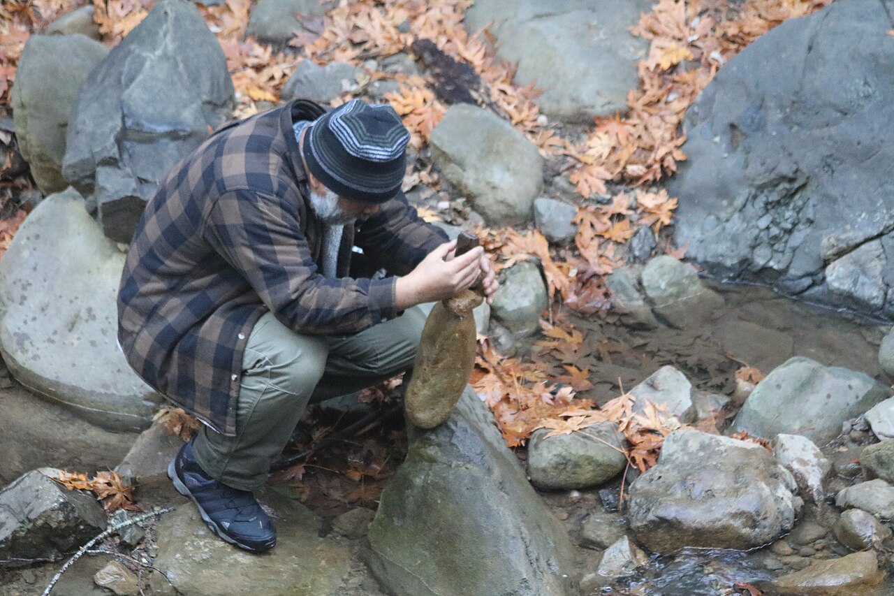
Uvas Canyon County Park
Morgan Hill, Santa Clara County, CA
- Size
- 1,147 acres Source
- Managed by
- Santa Clara County Parks
About Uvas Canyon County Park
Uvas Canyon County Park sits in upper Uvas Canyon on the east side of the Santa Cruz Mountains, a wooded park for hiking, camping, and picnicking most of the year. Its 7 miles of trails include the one-mile Waterfall Loop along Swanson Creek, which passes many of the park's waterfalls. A pamphlet at the trailhead and the ranger office describes the plants along this self-guided interpretive trail.
Individual picnic sites are first come, first served, and the Black Oak Group Picnic Area can be reserved for up to 75 people. The campground has 25 individual sites and a shower building with hot water, and reservations are highly recommended; the Upper Bench Group Camping Area takes groups of up to 50. Swimming is not allowed in any Santa Clara County park. Leashed dogs are welcome.
Every vehicle needs a prepaid day pass reserved in advance, every day of the week. That includes annual pass holders and each car in a group picnic, and visitors without a reservation are not allowed in. Passes are sold by phone or through the county's Go Outside and Play reservation site; print the confirmation and place it on the dashboard. The park is open from 8 a.m. to sunset, trails open at sunrise, and the entrance is at 8515 Croy Road in Morgan Hill.
Based on Uvas Canyon County Park official information, checked Oct 18, 2026.
Know before you go
Uvas Canyon County Park covers 1,147 acres in Morgan Hill, Santa Clara County. Closing follows the sun here: sunset at Uvas Canyon County Park is around 4:51 p.m. in mid-December, 7:13 p.m. in mid-March, 8:27 p.m. in mid-June, and 7:16 p.m. in mid-September. 8 named trails add up to about 6.8 miles inside the park; the longest is Knibbs Knob Trail at 2.2 miles, and Knibbs Knob Trail has the most up and down (about 1,850 feet). Mapped trails range from 991 to 2,911 feet in elevation. OpenStreetMap shows 2 parking areas, plus 2 restrooms and 4 drinking fountains.
Facilities
- Camping
- Drinking Water
- Historic Site
- Picnic Area
- Restrooms
Facility details: official park information, OpenStreetMap
Uvas Canyon County Park at a glance
- PParking · 2
- WCRestrooms · 2
- WDrinking water · 4
- TTrailheads · 6: Knobcone Point Trailhead, Knibbs Knob Trailhead
- Named trails · 8
© OpenStreetMap · CPAD · About this map
Trails
| Trail | Mapped length | Elevation | Surface & uses |
|---|---|---|---|
| Knibbs Knob Trail | 2.2 mi | 1,850 ft up & down1,136–2,911 ft | UnpavedNo bikes |
| Alec Canyon Trail | 1.5 mi | 695 ft up & down1,176–1,572 ft | No bikesUnpavedNo horses |
| Contour Trail | 1.5 mi | 703 ft up & down1,477–1,789 ft | No bikes |
| Waterfall Loop Trail | 0.6 mi | 333 ft up & down1,172–1,400 ft | UnpavedNo bikesNo horses |
| Knobcone Trail | 0.4 mi | 383 ft up & down1,491–1,907 ft | No bikes |
| Swanson Creek Trail | 0.3 mi | 123 ft up & down991–1,187 ft | UnpavedNo bikesNo horses |
| Triple Falls Trail | 0.2 mi | 121 ft up & down1,477–1,622 ft | No bikes |
| Uvas Creek Trail | 0.1 mi | 74 ft up & down1,020–1,113 ft | UnpavedNo bikesNo horses |
Compared with nearby parks
Among the 5 other parks in this guide within 10 miles, Uvas Canyon County Park is number 4 of 6 by size at 1,147 acres. 2 nearby parks have more mapped trail mileage than its 6.8 miles.
Closest places for what Uvas Canyon County Park doesn't list:
- Fishing: Chesbro Reservoir County Park (6 mi)
- Boat Launch: Chesbro Reservoir County Park (6 mi)
Rules & reservations
Official park page- Dogs
The park lists dogs (on-leash) among its activities. Source
Trails open at sunrise.
Map & directions
8515 Croy Road, Morgan Hill, CA 95037
Nearby parks
Straight-line distanceContinue exploring
Santa Clara County parks Parks in Morgan HillSources & verification
Last verified: Oct 15, 2026- California Protected Areas Database (CPAD) 2026aname, county, agency, access, acres
- Santa Clara County Parks park page (read in a browser)official_url, hours, hours_note, dogs, address, description, facilities.camping, facilities.picnic-area, fees
- Santa Clara County Parks vehicle entrance feesfees
- OpenStreetMap facilities and trailsfacilities.drinking-water, facilities.historic-site, facilities.restrooms, trails
- Official park page (city in the park's mailing address; the park lies outside Census place boundaries)city
- OpenStreetMap: parking, restrooms, water, trailheads, trail lines, and bus stopsvisit
- Terrain Tiles elevation (USGS 3DEP), sampled every 20 m along OpenStreetMap trail linestrails.elevation
- Official park page (summarized in our words)narrative