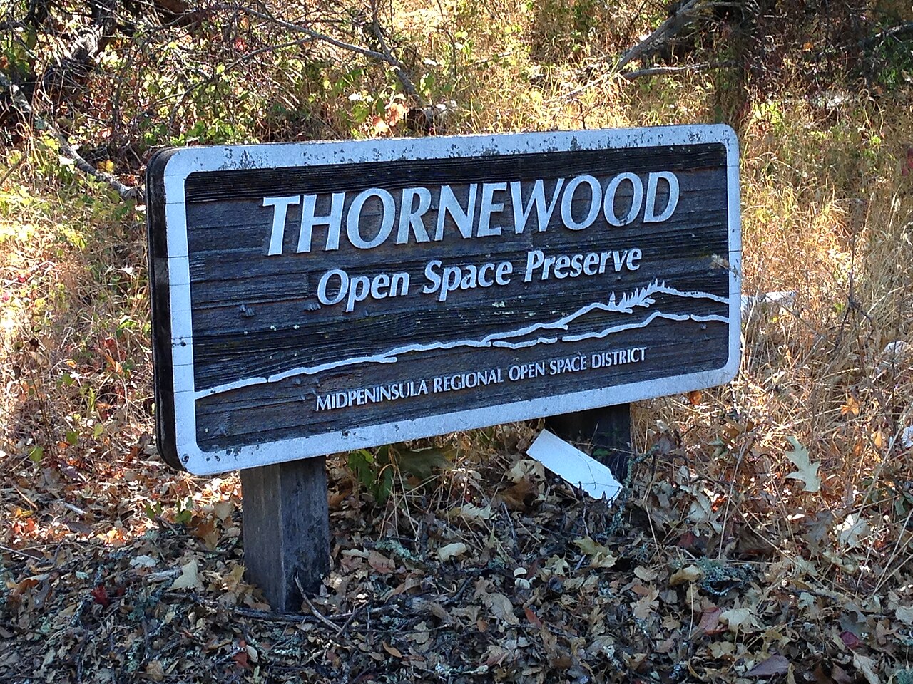
Thornewood Open Space Preserve
Woodside, San Mateo County, CA
- Size
- 148 acres Source
About Thornewood Open Space Preserve
Thornewood Open Space Preserve is a small, 167-acre preserve in the hills above Woodside, suited to a quick, easy hike or ride. It is named for Julian and Edna Thorne, who bought the land in 1908; their summer house, designed in the 1920s by architect Gardner Dailey (who also designed the farm buildings at nearby Filoli), still stands on 3.5 landscaped acres but is being restored and is closed to the public. The rest of the estate once belonged to August Schilling of the Schilling Spice Company, and remnants of his estate are explained on four interpretive panels along the Rock of Ages Trail. The estate was willed to the Sierra Club Foundation and later given to Midpen.
Two 0.75-mile trails lead to Schilling Lake: one through second-growth Douglas fir and redwood into oak and madrone woods, the other under bigleaf maples and mossy oaks to the redwoods around the water. The lake has long drawn migrating waterfowl, but Midpen is letting it fill in naturally, so it will slowly become a wet meadow and eventually forest.
Leashed dogs are allowed on designated trails and should be kept close in the sensitive lake area; horses are allowed on designated trails, but bikes are not. Crossing Dennis Martin Creek on the bridle trail is not advised during high water. The small lot (five spaces plus one accessible) is reached through a brick gate on La Honda Road, 1.6 miles past Portola Road, then 0.3 miles up a narrow driveway; there is no trailer parking.
Based on Thornewood Open Space Preserve official information, checked Oct 15, 2026.
Know before you go
Thornewood Open Space Preserve covers 148 acres in Woodside, San Mateo County. Closing follows the sun here: sunset at Thornewood Open Space Preserve is around 4:52 p.m. in mid-December, 7:15 p.m. in mid-March, 8:30 p.m. in mid-June, and 7:18 p.m. in mid-September. 2 named trails add up to about 1.4 miles inside the park; the longest is Schilling Lake Trail at 0.7 miles, and Bridle Trail has the most up and down (about 364 feet). Mapped trails range from 531 to 971 feet in elevation. OpenStreetMap shows 1 parking area.
Facilities
- Tennis Courts
- RestroomsNot available
Facility details: OpenStreetMap, official park information
Thornewood Open Space Preserve at a glance
- PParking · 1
- Named trails · 2
© OpenStreetMap · CPAD · About this map
Trails
| Trail | Mapped length | Elevation | Surface & uses |
|---|---|---|---|
| Schilling Lake Trail | 0.7 mi | 179 ft up & down878–971 ft | HorsesUnpavedNo bikes |
| Bridle Trail | 0.7 mi | 364 ft up & down531–902 ft | Horses |
Compared with nearby parks
Among the 21 other parks in this guide within 10 miles, Thornewood Open Space Preserve is number 21 of 22 by size at 148 acres. 18 nearby parks have more mapped trail mileage than its 1.4 miles.
Closest places for what Thornewood Open Space Preserve doesn't list:
- Playground: Huddart Park (3.8 mi)
- Camping: Huddart Park (3.8 mi)
- Boat Launch: Ravenswood Open Space Preserve (9.2 mi)
Rules & reservations
Official park page- Dogs
Leash 6 feet or shorter; dogs are not allowed in any Midpen water areas (district rules). Source
Open a half-hour before sunrise until a half-hour after sunset.
Map & directions
Nearby parks
Straight-line distanceContinue exploring
San Mateo County parks Parks in Woodside Tennis CourtsSources & verification
Last verified: Oct 15, 2026- California Protected Areas Database (CPAD) 2026aname, county, agency, access, acres
- Midpen preserve pageofficial_url, hours, hours_note, dogs, facilities.restrooms, description
- Midpen visitor FAQ (no entry or parking fees)fees
- Midpen dog access rulesdogs
- OpenStreetMap facilities and trailsfacilities.tennis-court, trails
- U.S. Census Bureau place boundariescity
- OpenStreetMap: parking, restrooms, water, trailheads, trail lines, and bus stopsvisit
- Terrain Tiles elevation (USGS 3DEP), sampled every 20 m along OpenStreetMap trail linestrails.elevation
- Official park page (summarized in our words)narrative
- Official park page (introduction excerpt)intro