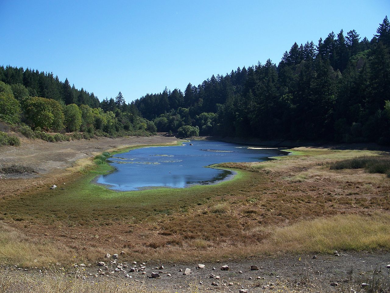
Sanborn County Park
Saratoga, Santa Clara County, CA
- Size
- 3,452 acres Source
- Managed by
- Santa Clara County Parks
About Sanborn County Park
Sanborn County Park is a mountain park in the Santa Cruz Mountains, between Saratoga and Skyline Boulevard, filled with redwoods and tanbark oaks. More than 22 miles of trails cross its terrain, and the Lake Ranch Trail offers a shaded, easy walk between Lake Ranch and Black Road.
The day-use area has a one-mile nature trail and picnic tables spread across 40 grassy acres, and three group areas can be reserved for large gatherings. In summer, the park is home to Silicon Valley Shakespeare, the region's only outdoor Shakespeare company.
Overnight stays are limited to RVs and hike-in tents. The year-round RV campground has electric and water hookups and a dump station, with a 30-foot vehicle length limit. Hike-in tent camping closes each year from the third Sunday in October until the third Friday in March. Car camping is not allowed, and reservations are strongly encouraged. The county manages Sanborn's woods under a Forest Health Plan.
The park is open from 8 a.m. to sunset, with a vehicle entry fee at the main entrance on Sanborn Road. The Skyline Trail and Sunnyvale Mountain Loop trailhead at 16868 Skyline Boulevard has free parking. Parking is restricted along Black Road and at the far south end of Sanborn Road near the Lake Ranch Trail entrance, where the road narrows to a single lane.
Based on Sanborn County Park official information, checked Oct 18, 2026.
Know before you go
Sanborn County Park covers 3,452 acres in Saratoga, Santa Clara County. Closing follows the sun here: sunset at Sanborn County Park is around 4:52 p.m. in mid-December, 7:14 p.m. in mid-March, 8:29 p.m. in mid-June, and 7:18 p.m. in mid-September. 12 named trails add up to about 19.7 miles inside the park; the longest is John Nicholas Trail at 5.2 miles, and Sanborn Trail has the most up and down (about 1,592 feet). Mapped trails range from 1,333 to 3,089 feet in elevation. OpenStreetMap shows 11 parking areas, including Indian Rock parking and Sunnyvale Mountain, plus 6 restrooms and 1 drinking fountain.
Facilities
- Camping
- Drinking Water
- Historic Site
- Picnic Area
- Restrooms
- Horseshoes
- Volleyball
Facility details: official park information, OpenStreetMap
Sanborn County Park at a glance
- PParking · 11: Indian Rock parking, Sunnyvale Mountain
- WCRestrooms · 6
- WDrinking water · 1
- iVisitor center · 1: Visitor Center
- Named trails · 12
© OpenStreetMap · CPAD · About this map
Trails
| Trail | Mapped length | Elevation | Surface & uses |
|---|---|---|---|
| John Nicholas Trail | 5.2 mi | 1,422 ft up & down1,789–2,914 ft | UnpavedBikesHorses |
| Skyline Trail | 4.1 mi | 1,381 ft up & down2,766–3,089 ft | UnpavedBikesHorsesPaved |
| Sanborn Trail | 2.7 mi | 1,592 ft up & down1,333–2,873 ft | No bikesHorsesUnpavedNo horsesPavedBikes |
| PG&E Road | 1.7 mi | 649 ft up & down1,579–2,003 ft | UnpavedNo dogsNo bikesNo horses |
| Summit Rock Loop Trail | 1.3 mi | 746 ft up & down2,578–2,976 ft | BikesHorsesUnpaved |
| Vernon J. Pick Trail | 1.1 mi | 596 ft up & down1,372–2,008 ft | No bikesHorsesNo horsesPaved |
| Lower Madrone Trail | 0.8 mi | 529 ft up & down1,457–2,008 ft | UnpavedNo bikesHorses |
| Peterson Trail | 0.6 mi | 459 ft up & down1,333–1,830 ft | No bikesHorses |
| San Andreas Trail | 0.6 mi | 130 ft up & down1,400–1,488 ft | No bikesHorsesPaved |
| Upper Madrone Trail | 0.6 mi | 463 ft up & down2,008–2,509 ft | UnpavedNo bikesHorses |
| Ambrose Road | 0.5 mi | 64 ft up & down1,546–1,629 ft | |
| Lake Ranch Trail | 0.5 mi | 158 ft up & down1,649–1,829 ft | BikesHorses |
Compared with nearby parks
Among the 21 other parks in this guide within 10 miles, Sanborn County Park is number 3 of 22 by size at 3,452 acres. 2 nearby parks have more mapped trail mileage than its 19.7 miles.
Closest places for what Sanborn County Park doesn't list:
- Off-Leash Area: Los Gatos Creek County Park (7.6 mi)
- Playground: Vasona Lake County Park (5.9 mi)
- Fishing: Stevens Creek County Park (3.7 mi)
Rules & reservations
Official park page- Dogs
The park lists dogs (on-leash) among its activities. Source
Map & directions
16055 Sanborn Road, Saratoga, CA 95070
Nearby parks
Straight-line distanceContinue exploring
Santa Clara County parksSources & verification
Last verified: Oct 15, 2026- California Protected Areas Database (CPAD) 2026aname, county, agency, access, acres
- Santa Clara County Parks park page (read in a browser)official_url, hours, dogs, address, description, facilities.picnic-area, facilities.camping, facilities.horseshoes, facilities.volleyball, fees
- Santa Clara County Parks vehicle entrance feesfees
- OpenStreetMap facilities and trailsfacilities.drinking-water, facilities.historic-site, facilities.restrooms, trails
- U.S. Census Bureau place boundaries (nearest place)city
- OpenStreetMap: parking, restrooms, water, trailheads, trail lines, and bus stopsvisit
- Terrain Tiles elevation (USGS 3DEP), sampled every 20 m along OpenStreetMap trail linestrails.elevation
- Official park page (summarized in our words)narrative