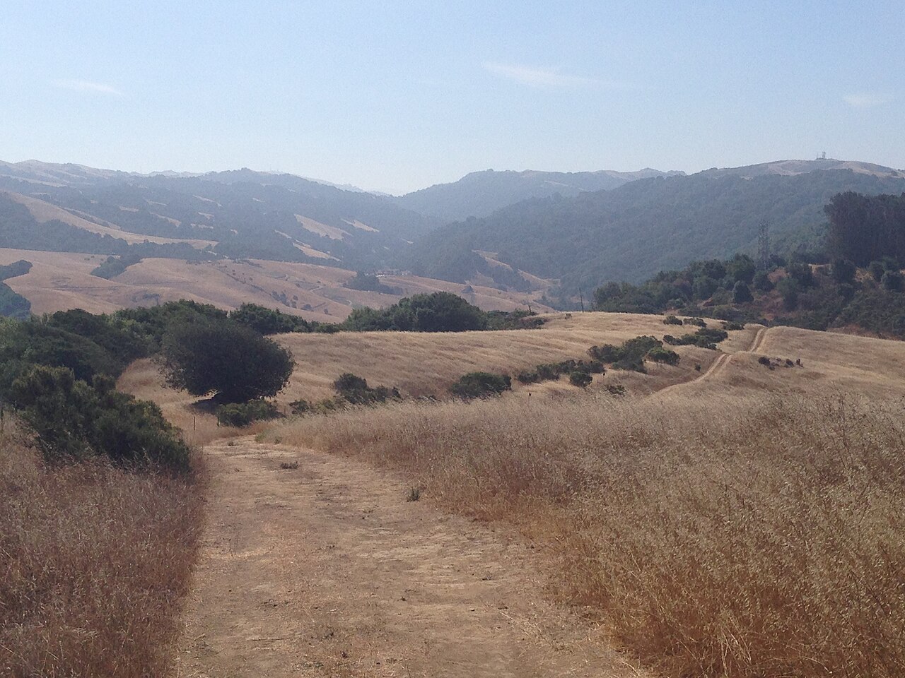
Five Canyons Open Space
Castro Valley, Alameda County, CA
- Size
- 226 acres Source
- Managed by
- East Bay Regional Park District
About Five Canyons Open Space
Five Canyons Open Space in Castro Valley has more than 300 acres of open space and five miles of trails. Its trails include a segment of the Bay Area Ridge Trail, the nine-county ridgeline route that circles the San Francisco Bay region. To the north, that segment connects through Cull Canyon Regional Recreation Area; to the west it reaches Don Castro Regional Recreation Area and links two local schools. The Park District plans to extend it south toward Garin and Dry Creek Pioneer regional parks and Mission Peak Regional Preserve.
Several miles of internal loop trails pass through shady canyons and along ridgelines with wildlife, and connect to Hayward Area Recreation and Park District (HARD) parks and Don Castro.
The trail system is reached where the Chabot-to-Garin Regional Trail crosses just north of the intersection of Five Canyons Parkway and Boulder Canyon Drive. Park on Boulder Canyon Drive west of Five Canyons Parkway, near HARD's Ridge Trail Park, or at HARD's Five Canyons Park. The preserve is managed from the office at Don Castro, 22400 Woodroe Avenue in Hayward.
Based on Five Canyons Open Space official information, checked Oct 15, 2026.
Know before you go
Five Canyons Open Space covers 226 acres in Castro Valley, Alameda County. Closing follows the sun here: sunset at Five Canyons Open Space is around 4:50 p.m. in mid-December, 7:14 p.m. in mid-March, 8:30 p.m. in mid-June, and 7:18 p.m. in mid-September. 6 named trails add up to about 3 miles inside the park; the longest is Shady Canyon Trail at 0.9 miles, and Shady Canyon Trail has the most up and down (about 379 feet). Mapped trails range from 368 to 930 feet in elevation.
Trails
| Trail | Mapped length | Elevation | Surface & uses |
|---|---|---|---|
| Shady Canyon Trail | 0.9 mi | 379 ft up & down368–774 ft | BikesHorses |
| Chabot to Garin Regional Trail | 0.7 mi | 222 ft up & down751–930 ft | BikesHorses |
| Deer Canyon Trail | 0.6 mi | 64 ft up & down499–591 ft | |
| Newt Pond Trail | 0.4 mi | 197 ft up & down458–787 ft | BikesHorses |
| Sandstone Trail | 0.3 mi | ||
| Diamond View Trail | 0.1 mi |
Compared with nearby parks
Among the 47 other parks in this guide within 10 miles, Five Canyons Open Space is number 16 of 48 by size at 226 acres. 11 nearby parks have more mapped trail mileage than its 3 miles.
Closest places for what Five Canyons Open Space doesn't list:
- Off-Leash Area: San Lorenzo Community Park (6.5 mi)
- Playground: Five Canyons Park (0.7 mi)
- Swimming: Cull Canyon Regional Recreation Area (2.9 mi)
Rules & reservations
Official park page- Dogs
At Five Canyons Open Space: leash in developed areas, under the East Bay Regional Park District dog rules. Source
Map & directions
5909 Gold Creek Dr, Castro Valley, CA 94552
Nearby parks
Straight-line distanceContinue exploring
Alameda County parks Parks in Castro ValleySources & verification
Last verified: Oct 15, 2026- California Protected Areas Database (CPAD) 2026aname, county, agency, access, acres
- East Bay Regional Park District dog rulesdogs
- East Bay Regional Park District park pageofficial_url, hours, address, description, fees
- OpenStreetMap facilities and trailstrails
- U.S. Census Bureau place boundariescity
- OpenStreetMap: parking, restrooms, water, trailheads, trail lines, and bus stopsvisit
- Terrain Tiles elevation (USGS 3DEP), sampled every 20 m along OpenStreetMap trail linestrails.elevation
- Official park page (summarized in our words)narrative
- Official park page (introduction excerpt)intro