Yorba Regional Park
Anaheim, Orange County, CA
About Yorba Regional Park
Yorba Regional Park is a linear day-use park more than a mile long at the mouth of Santa Ana Canyon in Anaheim, laid out to echo the setting of the neighboring Santa Ana River. The area's history is tied to names such as Yorba, Peralta, and Dominguez, and the Orange County Board of Supervisors made the park's 1976 opening the county's official bicentennial project.
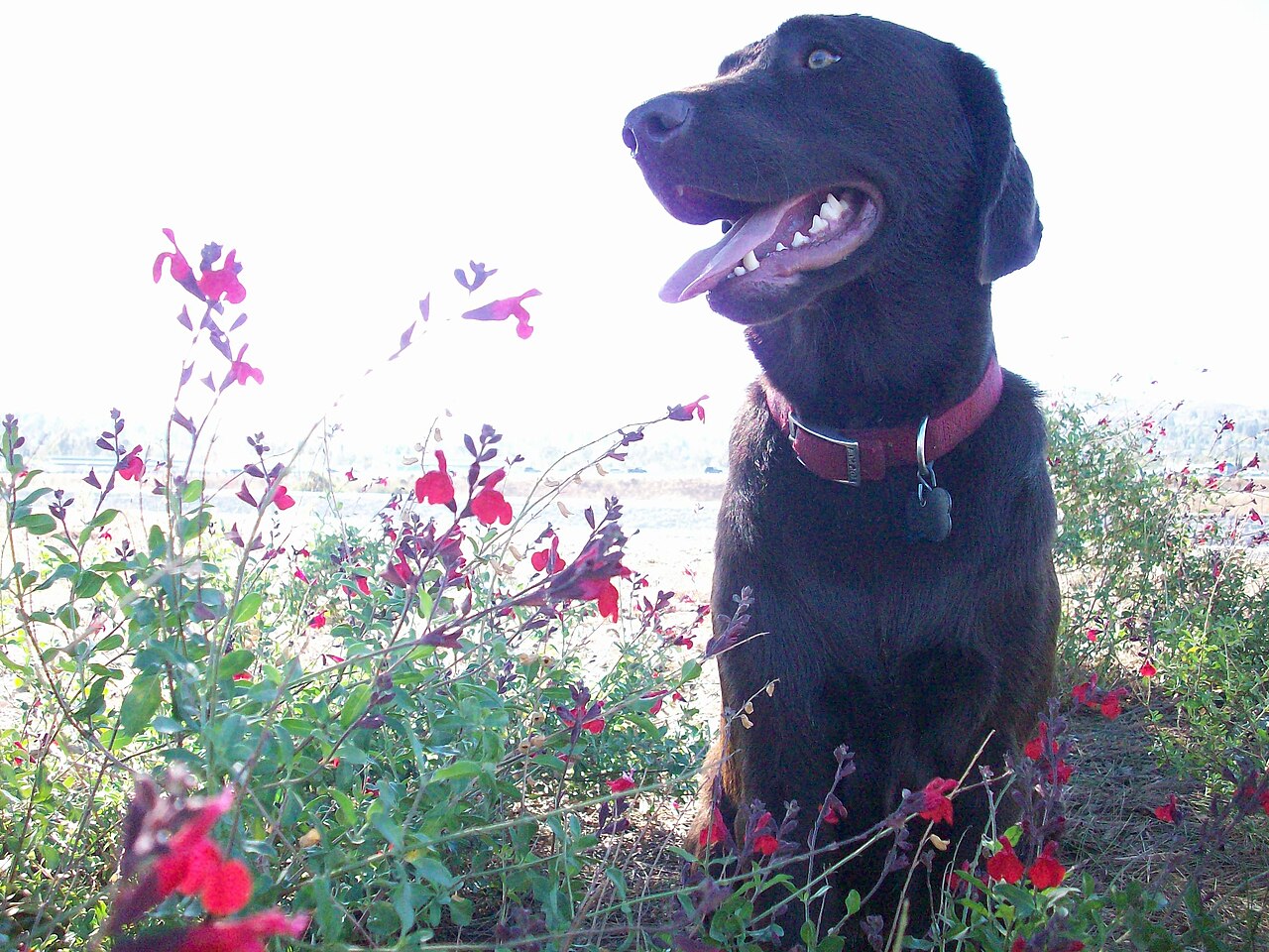
The park is built for picnics, with more than 400 picnic tables, many under permanent shade structures, some 200 barbecues, and seven group shelters that require reservations. A chain of four lakes linked by streams is used for fishing and model boat sailing, and Wheel Fun Rentals rents bikes and paddleboats. Bike trails wind through the park and connect to the Santa Ana River Trail, which runs about 20 miles to the Pacific Ocean. Playgrounds and restrooms are spread throughout, along with volleyball courts, horseshoe pits, two ball diamonds, a fitness course, hiking and equestrian trails, and a kite-flying area. Leashed dogs are allowed.
The park is open from 7 a.m. to 6 p.m. in fall and winter and from 7 a.m. to 9 p.m. in spring and summer. Parking is $3 per vehicle on weekdays and $5 on weekends, and more on some holidays and event days.
Based on Yorba Regional Park official information, checked Oct 16, 2026.
Know before you go
Yorba Regional Park covers 155 acres in Anaheim, Orange County. OpenStreetMap shows 13 parking areas, including A, B, and C, plus 6 restrooms and 3 drinking fountains. The closest mapped bus stop is La Palma-Jenifer (routes 38), at the park edge.
Facilities
- BBQ Grills
- Drinking Water
- Horseshoes
- Playground
- Restrooms
- Volleyball
Facility details: OpenStreetMap
Yorba Regional Park at a glance
- PParking · 13: A, B, C, D
- WCRestrooms · 6
- WDrinking water · 3
© OpenStreetMap · CPAD · About this map
Getting to Yorba Regional Park by bus
- La Palma-Jenifer · Routes 38 · at the park edge
- La Palma-Fairmont · Routes 38 · at the park edge
- La Palma-Lynwood · Routes 38 · at the park edge
- La Palma-Potomac · Routes 38 · at the park edge
Stops within a quarter mile of Yorba Regional Park; confirm times with the transit agency.
Compared with nearby parks
Among the 6 other parks in this guide within 10 miles, Yorba Regional Park is number 4 of 7 by size at 155 acres.
Closest places for what Yorba Regional Park doesn't list:
- Tennis Courts: Carbon Canyon Regional Park (5.3 mi)
Rules & reservations
Official park pageFall–winter: 7 a.m. to 6 p.m. Spring–summer: 7 a.m. to 9 p.m.
Map & directions
Nearby parks
Straight-line distanceContinue exploring
Orange County parks PlaygroundsSources & verification
Last verified: Oct 16, 2026- California Protected Areas Database (CPAD) 2026aname, county, agency, access, acres
- OC Parks park pageofficial_url, hours, hours_note, fees, dogs, description
- OpenStreetMap facilities and trailsfacilities.bbq-grills, facilities.drinking-water, facilities.horseshoes, facilities.playground, facilities.restrooms, facilities.volleyball
- U.S. Census Bureau place boundariescity
- OpenStreetMap: parking, restrooms, water, trailheads, trail lines, and bus stopsvisit
- Official park page (summarized in our words)narrative
- Official park page (introduction excerpt)intro