Sycamore Grove Park
Livermore, Alameda County, CA
- Size
- 839 acres Source
About Sycamore Grove Park
An 847-acre open space park in south Livermore for hiking, biking, and nature study, with several entrances off Wetmore and Arroyo roads. Source
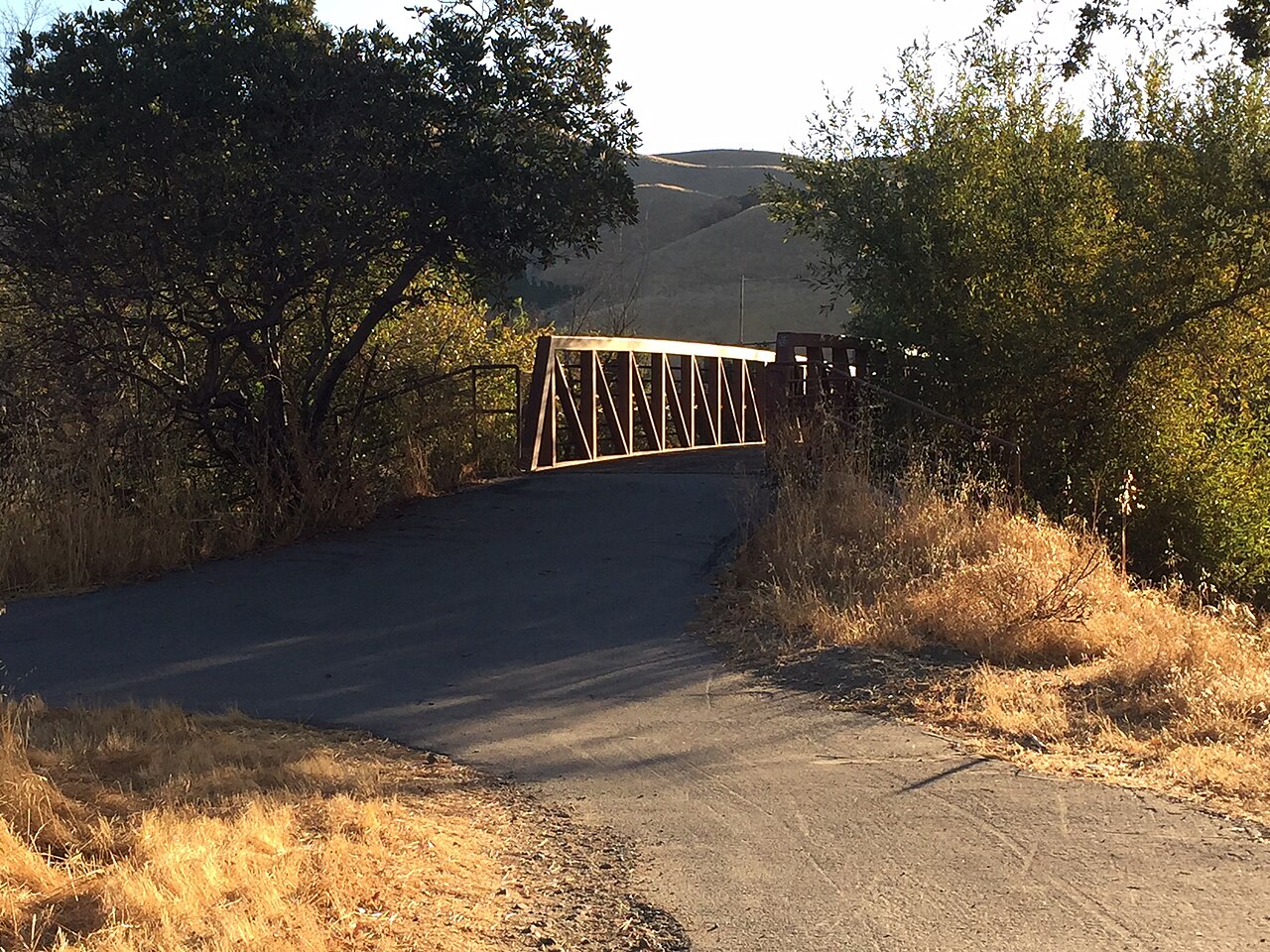
Sycamore Grove Park is a natural space for passive recreation and nature study. It's home to special species like the CA red-legged frog and provides habitat for various animals. The park, originally 364 acres, was expanded in 1999 and 2015, with trail improvements in 2018 and a bridge project completed in 2019.
Know before you go
Sycamore Grove Park covers 839 acres in Livermore, Alameda County. Closing follows the sun here: sunset at Sycamore Grove Park is around 4:49 p.m. in mid-December, 7:13 p.m. in mid-March, 8:29 p.m. in mid-June, and 7:16 p.m. in mid-September. 12 named trails add up to about 12.8 miles inside the park; the longest is Winery Loop at 2.2 miles, and Valley View Trail has the most up and down (about 618 feet). Mapped trails range from 458 to 1,006 feet in elevation. OpenStreetMap shows 3 parking areas, plus 2 restrooms and 3 drinking fountains.
Facilities
- Drinking Water
- Historic Site
- Picnic Area
- Restrooms
Facility details: OpenStreetMap
Sycamore Grove Park at a glance
- PParking · 3
- WCRestrooms · 2
- WDrinking water · 3
- Named trails · 12
© OpenStreetMap · CPAD · About this map
Trails
| Trail | Mapped length | Elevation | Surface & uses |
|---|---|---|---|
| Winery Loop | 2.2 mi | 101 ft up & down461–502 ft | UnpavedBikesHorses |
| Arroyo del Valle Regional Trail | 1.6 mi | 79 ft up & down458–529 ft | PavedBikesNo horses |
| Wagon Road Trail | 1.5 mi | 332 ft up & down503–647 ft | BikesHorses |
| Valley View Trail | 1.5 mi | 618 ft up & down622–925 ft | UnpavedBikesHorses |
| Harrier Trail | 1.2 mi | 394 ft up & down618–806 ft | Unpaved |
| Sycamore Trail | 1.1 mi | 31 ft up & down459–486 ft | UnpavedBikesHorses |
| Dry Creek Trail | 0.9 mi | 48 ft up & down475–510 ft | UnpavedNo bikesNo horsesBikesHorses |
| Creek Trail | 0.9 mi | 30 ft up & down463–486 ft | UnpavedNo bikesNo horses |
| Meadowlark Loop | 0.5 mi | 56 ft up & down623–649 ft | BikesHorses |
| Cattail Pond Trail | 0.5 mi | 185 ft up & down641–852 ft | BikesHorses |
| Patterson Ranch Trail | 0.5 mi | 239 ft up & down547–1,006 ft | UnpavedNo bikesNo horsesBikesHorses |
| Magpie Nature Loop | 0.4 mi | 13 ft up & down458–467 ft | UnpavedNo bikesNo horses |
Compared with nearby parks
Among the 12 other parks in this guide within 10 miles, Sycamore Grove Park is number 6 of 13 by size at 839 acres. 2 nearby parks have more mapped trail mileage than its 12.8 miles.
Closest places for what Sycamore Grove Park doesn't list:
- Off-Leash Area: Robertson Park (2.5 mi)
- Playground: Independence Park (1.4 mi)
- Swimming: Del Valle Regional Park (4.2 mi)
Rules & reservations
Official park pageMap & directions
1051 Wetmore Rd, Livermore, CA 94550
Nearby parks
Straight-line distanceContinue exploring
Alameda County parks Parks in LivermoreSources & verification
Last verified: Oct 16, 2026- California Protected Areas Database (CPAD) 2026aname, county, agency, access, acres
- LARPD park pageofficial_url, hours, fees, address, description
- OpenStreetMap facilities and trailsfacilities.drinking-water, facilities.historic-site, facilities.picnic-area, facilities.restrooms, trails
- U.S. Census Bureau place boundaries (nearest place)city
- OpenStreetMap: parking, restrooms, water, trailheads, trail lines, and bus stopsvisit
- Terrain Tiles elevation (USGS 3DEP), sampled every 20 m along OpenStreetMap trail linestrails.elevation
- Official park page (introduction excerpt)intro